Win 7 days Kombi Campervan Hire
Click here for details
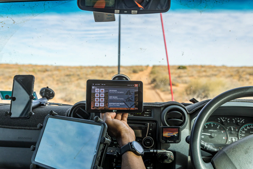
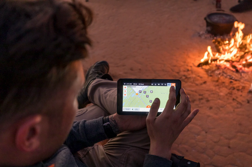
Try before you buy.
Click here for details